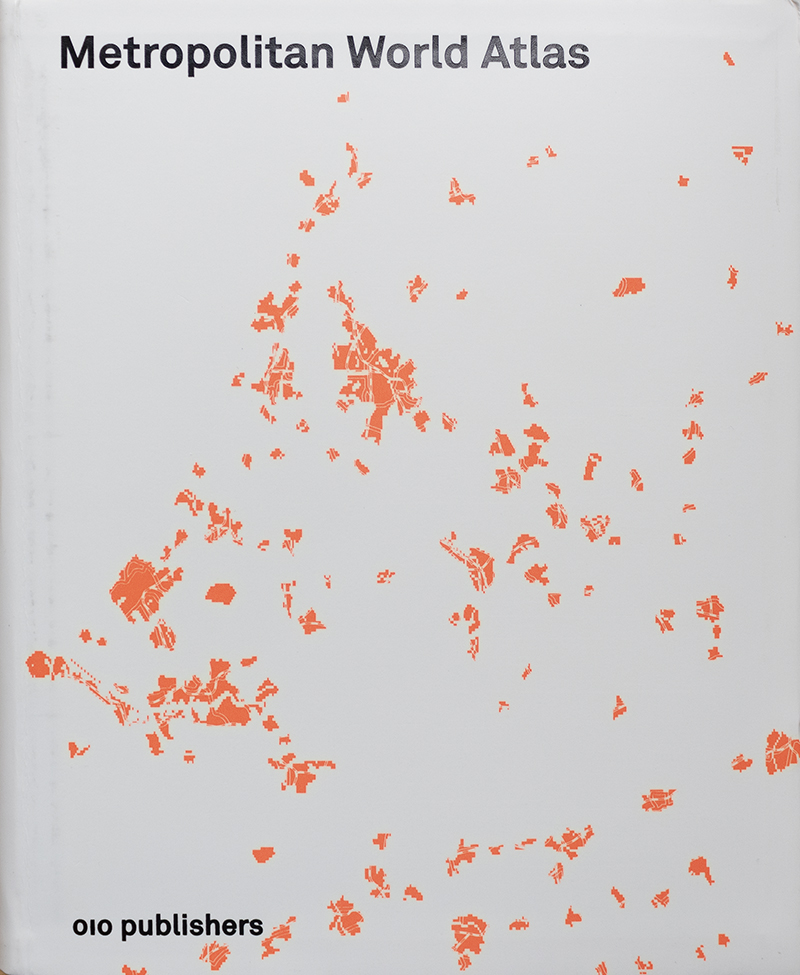
Metropolitan World Atlas
Metropolitan World AtlasArjen van Susteren010 Publishers, 2007 (Second Edition)Flexicover | 7 x 8-3/4 inches | 312 pages | English | ISBN: 978-9064505485 | $X.00Publisher's Description: With its wealth of facts and clean, abstract design, the Metropolitan World Atlas is a must-buy. Despite the burgeoning interest in metropolitan growth and globalization there has been no way of directly comparing metropolises - until now, that is. This atlas offers a unique survey of global trade networks and their impact on metropolitan space. It documents a total of 101 metropolises, analysing them in easy-to-read ground plans. It also includes index numbers and tables regarding such aspects as population, density, pollution, travel time, data traffic, air and water travel and the size of Central Business Districts. Its unexpected combination of ground plans and statistics makes this atlas a unique work of reference where for the first time metropolitan areas like Beijing, Lagos, London, Los Angeles, Rio de Janeiro and Tokyo can be compared with one another and in terms of their position in the global urban network. Referral Links: dDAB Commentary: Although this atlas of 101 metropolitan areas first came out in 2005, its statistics are based on the year 2000 and thereabouts, meaning it was five years old the moment it was published. Fifteen years later and the data is 20 years old, making the book essentially useless, outside of it being a snapshot of cities at the turn of the millennium and a graphic exercise in portraying geographical data through dots of color. I like Metropolitan World Atlas for both those reasons, and reviewing books about world-scale architectural thinking and operative mapping earlier in the week prompted me to grab it off the shelf and feature it here. Arjen van Susteren takes a fairly objective approach to determining the 101 cities included in the book (given that it's an atlas, objectivity makes sense). He starts with the world's 50 largest cities and then looks at lists of the 25 largest seaports, the 30 largest airports, and the 30 largest telecom ports. Together these lists, which accentuate connectivity between cities, generate a master list of 89 cities, to which Van Susteren adds 12 cities, such as Baghdad and Oslo, to come up with the final 101 metropolitan areas, all of them mapped on the endpapers (first spread below). Each metro area is then given one two-page spread (third and fourth spreads), with statistics on the left and a map on the right. The back of the book has a "world comparison of metropolitan data," in which different-sized orange dots corresponding to cities and their location on the world map express data from the determining lists (largest cities, largest airports, etc.) and the stats highlighted for nearly every city (e.g., income, unemployment, density, etc.). Throughout the book, a consistent format is used to make comparisons of cities very simple. Although not all data is provided for each city (note how residential density is provided for Chicago but not NYC), one can easily flip through the 101 metro areas and see how they compare and contrast. Unfortunately some cities, such as Baghdad and Oslo and some of the other additions, have very few bits of data, making their inclusion questionable. One other criticism is the bright-orange palette; it works well for the dots of various sizes expressing size and scale for statistics, but its use on the maps for metro areas is too binary: orange is metro, beige dots are not, with nothing in-between. Some of the most interesting statistical reading comes in the "world comparison" section at the back of the book. There, for instance, the 30 largest airports in terms of air movements (number of takeoffs and landings) is almost entirely in the United States: 26 are there, the other four are in Europe. This spread clearly illustrates how the US has invested in air travel for domestic transportation, to the detriment of high-speed rail enthusiasts and the environment. But in 2020, I'm guessing airports in Asia and the Middle East would have bumped out some of the US airports and reshaped the spread. Of course thinking in those terms would mean reshaping the whole list of 101 metropolitan areas, given how the makeup of the world's largest cities has changed dramatically in the last two decades. Spreads:

Metropolitan World Atlas
Arjen van Susteren
010 Publishers, 2007 (Second Edition)
Flexicover | 7 x 8-3/4 inches | 312 pages | English | ISBN: 978-9064505485 | $X.00
Publisher's Description:


